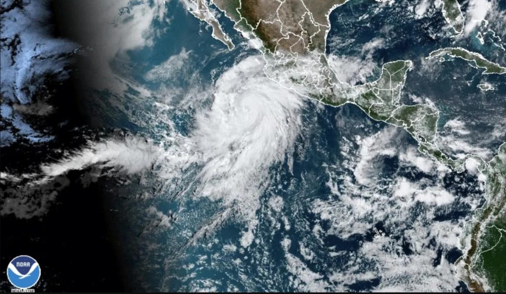
The National Hurricane Centre reports that a storm once aimed at Southern California has intensified into a Category 3 hurricane. After initially being predicted to bring severe rains to regions of Mexico, this unexpected occurrence happened. Experts predict that despite the storm’s strength, it will diminish before it reaches Southern California.
Rain & Wind Alert in Southern California
Greg Postel, a well-known meteorologist, and expert in atmospheric sciences, emphasized that it is doubtful that the storm will strike Southern California in hurricane form. The Los Angeles Basin is one of the regions of the state where its remains are expected to generate flooding and severe winds. The Southwestern United States is expected to experience a rush of heavy rains that will peak on Sunday and Monday and be followed by swells along the shore.
Unprecedented Tropical Impact
Postel emphasized how unusual it was for a tropical system of this size to pass across Southern California, making it an unheard-of occurrence in recent memory. Hurricane Hilary, with wind gusts of up to 125 mph, was located about 430 miles off the coast of Cabo San Lucas, Mexico. On Friday, it is expected to veer toward the northwest as it moves at 14 mph in a west-northwest direction.
Hurricane Hilary’s Path and Impact
Over the weekend, the hurricane is anticipated to land near Mexico’s Baja California Peninsula and is likely to strengthen rapidly. It is expected to intensify into a major storm before touching down. With projections of 3 to 6 inches of rain and the possibility of flash floods, the area is preparing for heavy weather. Additionally, destructive wind gusts and coastal seas are expected, especially at higher elevations.
Seasonal Readiness
As Hurricane Hilary’s path changes, it emphasizes how crucial it is to be ready for hurricane seasons, as advised by meteorological experts. Communities can reduce possible harm and assure safety by being prepared and knowledgeable.

